 Ridgeflow
Mt Richmond routes
Marlborough · New Zealand
Distance23.8 km (14.8 mi)all 2 sections
Climb1,762 m (5,781 ft)1,622 m (5,322 ft) down
High point1,738 m (5,702 ft)lowest 199 m (653 ft)
DOC's time2 daysas DOC publishes it
GradeExpertDOC
This track is mapped in 2 separate sections, so there is no single profile or walking time. Climb is added up section by section.
Map
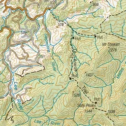
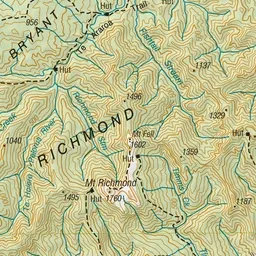
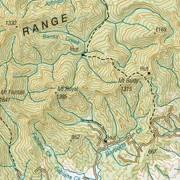
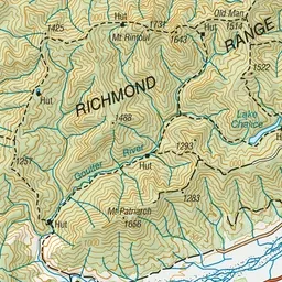
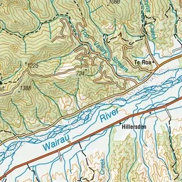
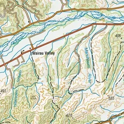
Pink: the track. Orange: huts.
About the track
These tracks provide access to Mt Richmond (1760 m) and can be combined for weekend round trip.
Huts on or near the track
- Richmond Saddle Hut (1207 m)
- Mt Fell Hut (1280 m)
Mt Richmond routes on DOC's website, for track alerts, bookings and closures.