 Ridgeflow
Mueller Hut Route
Canterbury · New Zealand
Distance5.4 km (3.4 mi)along the line
Climb1,048 m (3,438 ft)0 m (0 ft) down
High point1,807 m (5,928 ft)lowest 753 m (2,470 ft)
DOC's time4 hr one wayas DOC publishes it
Walking time3 h 6 minone way, moving, our estimate
GradeAdvancedDOC
Elevation profile
Map
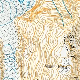
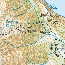
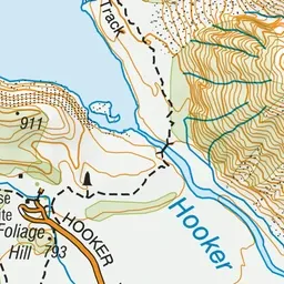
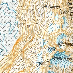
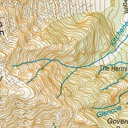
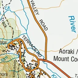
Pink: the track. Orange: huts.
About the track
This route provides a 360-degree panorama encompassing glaciers, ice cliffs, vertical rock faces and New Zealand’s highest peaks. Mountaineering experience, including using an ice axe, crampons and avalanche rescue equipment, is needed in winter, and some
Huts on or near the track
- Mueller Hut (1807 m, bookable)
Mueller Hut Route on DOC's website, for track alerts, bookings and closures.