 Ridgeflow
Munro’s Gully Track
Otago · New Zealand
Distance1.8 km (1.1 mi)along the line
Climb201 m (659 ft)48 m (157 ft) down
High point381 m (1,250 ft)lowest 189 m (620 ft)
DOC's time2 hr 30 min returnas DOC publishes it
Walking time48 minone way, moving, our estimate
GradeAdvancedDOC
Elevation profile
Map
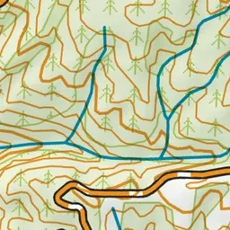
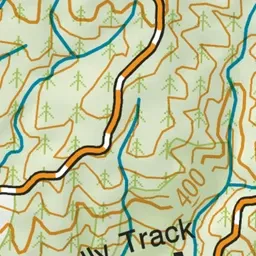
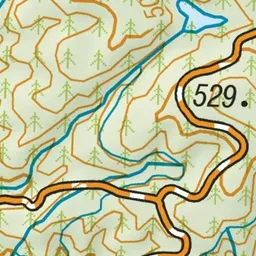
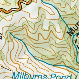
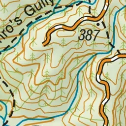
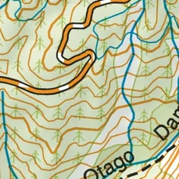
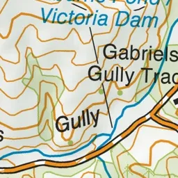
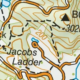
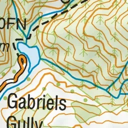
Pink: the track. Green dot: the start.
About the track
Explore the beech forest and water races right next to the site of New Zealand’s first goldrush and discover historic dams that powered the shifting of entire hills.
Munro’s Gully Track on DOC's website, for track alerts, bookings and closures.