 Ridgeflow
Muriwai Walk
Waikato · New Zealand
Distance5.6 km (3.5 mi)along the line
Climb123 m (404 ft)124 m (407 ft) down
High point101 m (331 ft)lowest 5 m (16 ft)
DOC's time2 hras DOC publishes it
Walking time1 h 37 minone way, moving, our estimate
GradeEasyDOC
Elevation profile
Map
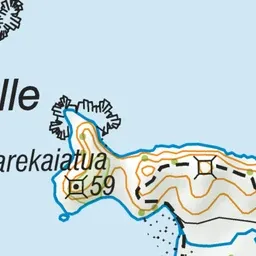
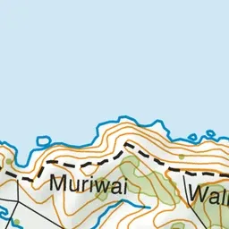
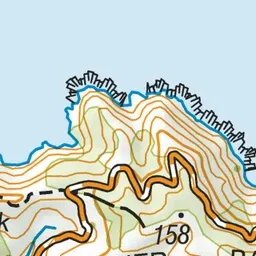
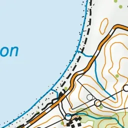
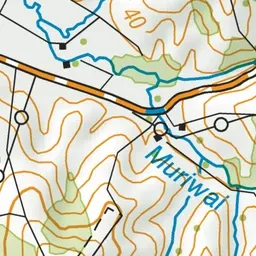
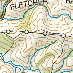
Pink: the track. Green dot: the start.
About the track
Located beyond Port Jackson campsite, this stunning coastal walk leaves the Muriwai Hilltop car park and heads along a benched farm track along the ridge towards Wharekaiatua Pa.
Muriwai Walk on DOC's website, for track alerts, bookings and closures.