 Ridgeflow
Mystery Lake Track
Canterbury · New Zealand
Distance11.4 km (7.1 mi)along the line
Climb248 m (814 ft)425 m (1,394 ft) down
High point1,118 m (3,668 ft)lowest 702 m (2,303 ft)
DOC's time4 hras DOC publishes it
Walking time3 h 16 minone way, moving, our estimate
GradeAdvancedDOC
Elevation profile
Map
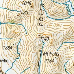
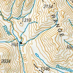
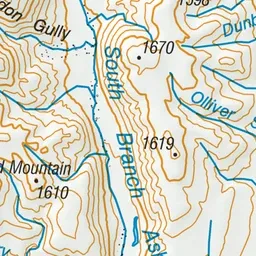
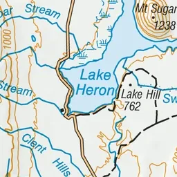
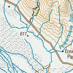
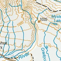
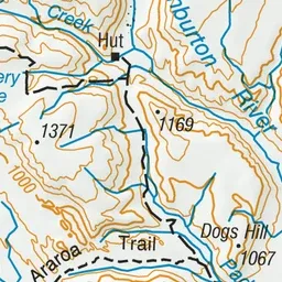
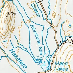
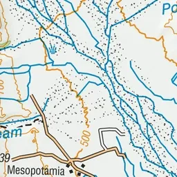
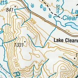
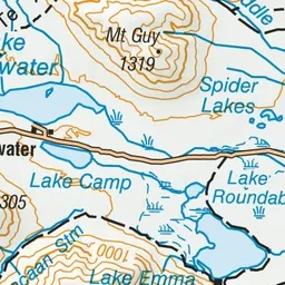
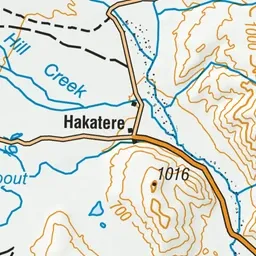
Pink: the track. Green dot: the start.
About the track
The area around Mystery Lake has steep rocky ‘knobs’ smoothed by passing glaciers, jumbled scree and large Hall’s tōtara.
Mystery Lake Track on DOC's website, for track alerts, bookings and closures.