 Ridgeflow
Neill Winchcombe Circuit
Wellington · New Zealand
Distance7.2 km (4.5 mi)along the line
Climb931 m (3,054 ft)498 m (1,634 ft) down
High point1,508 m (4,948 ft)lowest 904 m (2,966 ft)
DOC's time3 daysas DOC publishes it
Walking time3 h 21 minone way, moving, our estimate
GradeAdvanced, ExpertDOC
Elevation profile
Map
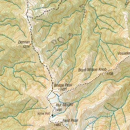
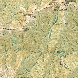
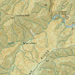
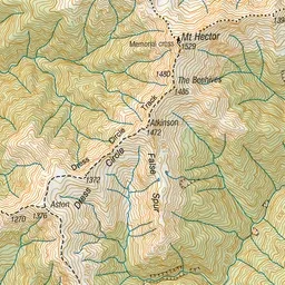
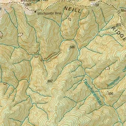
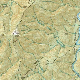
Pink: the track. Green dot: the start. Orange: huts.
About the track
This is a challenging circuit via Cone, Neill Ridge, Mt Hector, Alpha and Bull Mound. You need strong fitness, backcountry hiking experience and good weather to attempt this trip.
Huts on or near the track
- Winchcombe Biv (1086 m)
Neill Winchcombe Circuit on DOC's website, for track alerts, bookings and closures.