 Ridgeflow
Newcastle Track
Otago · New Zealand
Distance13.6 km (8.5 mi)along the line
Climb56 m (184 ft)77 m (253 ft) down
High point301 m (988 ft)lowest 261 m (856 ft)
DOC's time2-3 hras DOC publishes it
Walking time3 h 30 minone way, moving, our estimate
GradeEasyDOC
Elevation profile
Map
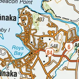
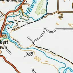
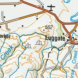
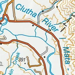
Pink: the track.
About the track
Suitable for biking and walking this track follows the true left of the Clutha River from Hāwea River swing bridge to Kane Road.
Newcastle Track on DOC's website, for track alerts, bookings and closures.