 Ridgeflow
Ngamoko Track
Hawke's Bay · New Zealand
Distance7.3 km (4.6 mi)all 3 sections
Climb629 m (2,064 ft)411 m (1,348 ft) down
High point1,082 m (3,550 ft)lowest 463 m (1,519 ft)
DOC's time5 - 7 hr 30 minas DOC publishes it
GradeAdvancedDOC
This track is mapped in 3 separate sections, so there is no single profile or walking time. Climb is added up section by section.
Map
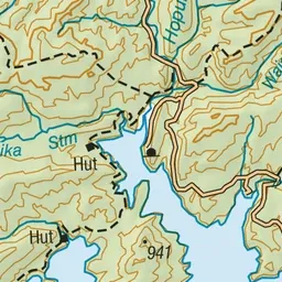
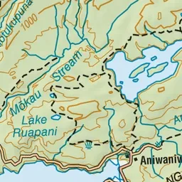
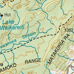
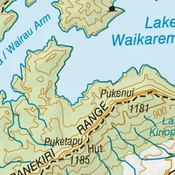
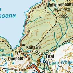
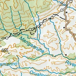
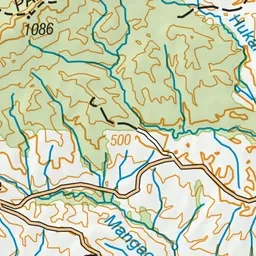
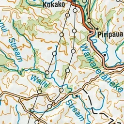
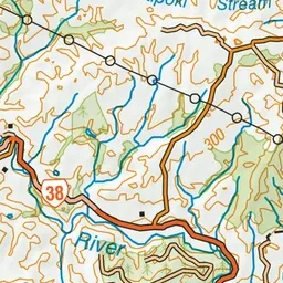
Pink: the track.
About the track
Walk along the Ngamoko Track as it steadily climbs to the Ngāmoko Range summit. You will be rewarded for your hard work by the views at the summit.
Ngamoko Track on DOC's website, for track alerts, bookings and closures.