 Ridgeflow
Ngapuketurua Track
Waikato · New Zealand
Distance6.3 km (3.9 mi)along the line
Climb479 m (1,572 ft)117 m (384 ft) down
High point1,142 m (3,747 ft)lowest 780 m (2,559 ft)
DOC's time4-5 hr one wayas DOC publishes it
Walking time2 h 22 minone way, moving, our estimate
GradeAdvancedDOC
Elevation profile
Map
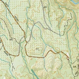
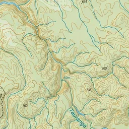
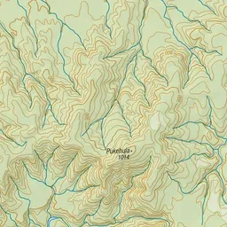
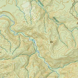
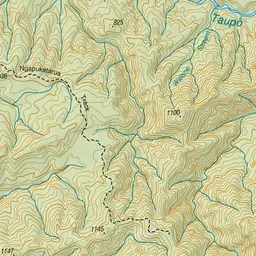
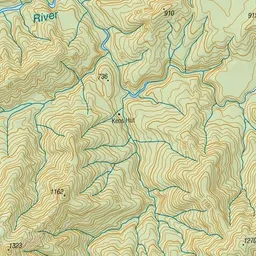
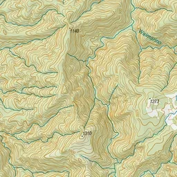
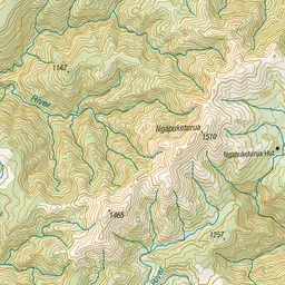
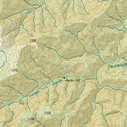
Pink: the track. Green dot: the start.
About the track
This track begins on the Kiko Loop and continues as far as the park boundary on the slopes of Mt Ngapuketurua.
Ngapuketurua Track on DOC's website, for track alerts, bookings and closures.