 Ridgeflow
Ngutuoha Nature Trail
Bay of Plenty · New Zealand
Distance1.8 km (1.1 mi)along the line
Climb38 m (125 ft)49 m (161 ft) down
High point216 m (709 ft)lowest 167 m (548 ft)
DOC's time1 hras DOC publishes it
Walking time31 minone way, moving, our estimate
GradeEasiestDOC
Elevation profile
Map
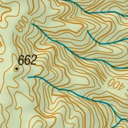
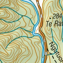
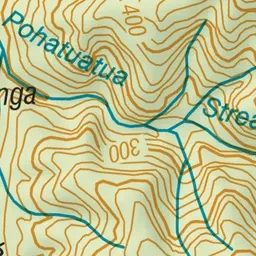
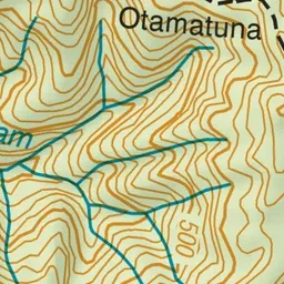
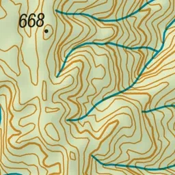
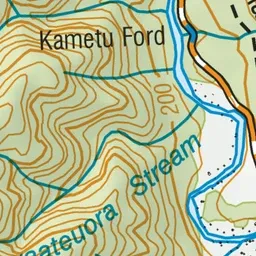
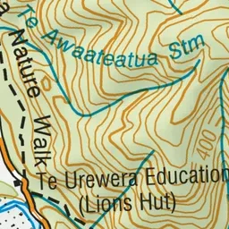
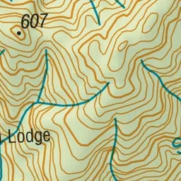
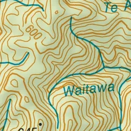
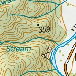
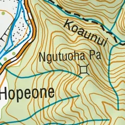
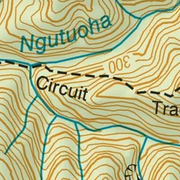
Pink: the track. Green dot: the start.
About the track
An easy loop trail with interpretation panels provide a 1 hour walking experience in the Waimana Valley at the north end of Te Urewera.
Ngutuoha Nature Trail on DOC's website, for track alerts, bookings and closures.