 Ridgeflow
Nikau Flat and Kotepato Tracks
Bay of Plenty · New Zealand
Distance4.9 km (3.1 mi)all 2 sections
Climb197 m (646 ft)213 m (699 ft) down
High point261 m (856 ft)lowest 162 m (531 ft)
DOC's time1-2 daysas DOC publishes it
GradeAdvancedDOC
This track is mapped in 2 separate sections, so there is no single profile or walking time. Climb is added up section by section.
Map
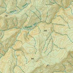
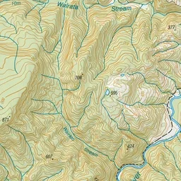
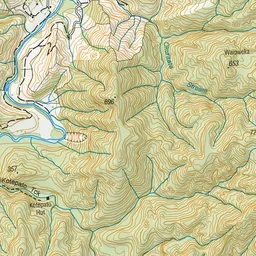
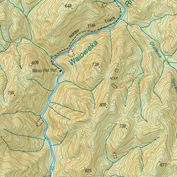
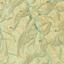
Pink: the track. Orange: huts.
About the track
These two scenic tracks offer excellent opportunity for trout fishing and hunting. The Nikau Flat Track follows alongside the Waioweka River and the Kotepato Track follows alongside the Te Pato Stream.
Huts on or near the track
- Kotepato Hut (182 m)
- Nikau Flat Hut (212 m)
Nikau Flat and Kotepato Tracks on DOC's website, for track alerts, bookings and closures.