 Ridgeflow
Nina Valley Track
Canterbury · New Zealand
Distance13 km (8.1 mi)along the line
Climb179 m (587 ft)354 m (1,161 ft) down
High point815 m (2,674 ft)lowest 634 m (2,080 ft)
DOC's time5 hras DOC publishes it
Walking time3 h 34 minone way, moving, our estimate
GradeAdvancedDOC
Elevation profile
Map
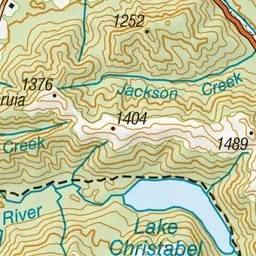
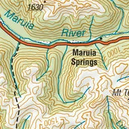
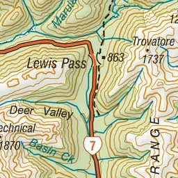
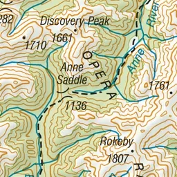
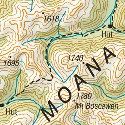
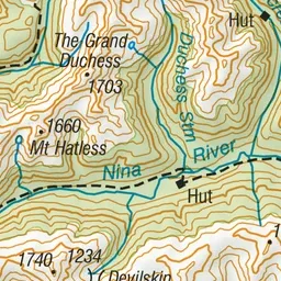
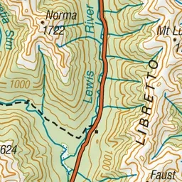
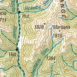
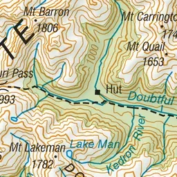
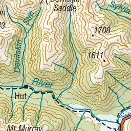
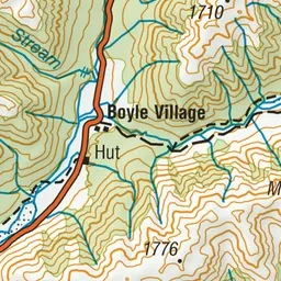
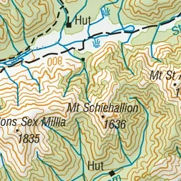
Pink: the track. Green dot: the start. Orange: huts.
About the track
This track goes to the upper Nina Valley. While relatively flat, this track can be rough and muddy in places and has several stream crossings.
Huts on or near the track
- Upper Nina Bivvy (814 m)
- Nina Hut (756 m, bookable)
Nina Valley Track on DOC's website, for track alerts, bookings and closures.