 Ridgeflow
No.1 Line tracks
Manawatū-Whanganui · New Zealand
Distance2.4 km (1.5 mi)along the line
Climb33 m (108 ft)477 m (1,565 ft) down
High point861 m (2,825 ft)lowest 384 m (1,260 ft)
DOC's time2 - 3 hr returnas DOC publishes it
Walking time51 minone way, moving, our estimate
GradeAdvancedDOC
Elevation profile
Map
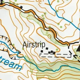
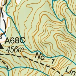
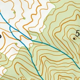
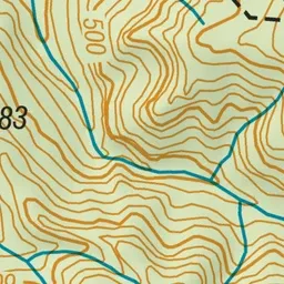
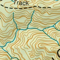
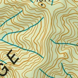
Pink: the track.
About the track
Enjoy the views of the Pohangina Valley from the end of No.1 Line or shorter Trig Loop Track.
No.1 Line tracks on DOC's website, for track alerts, bookings and closures.