 Ridgeflow
No Man's Road area tramping tracks
Hawke's Bay · New Zealand
Distance17.5 km (10.9 mi)all 4 sections
Climb2,116 m (6,942 ft)1,413 m (4,636 ft) down
High point1,239 m (4,065 ft)lowest 283 m (928 ft)
GradeAdvancedDOC
This track is mapped in 4 separate sections, so there is no single profile or walking time. Climb is added up section by section.
Map
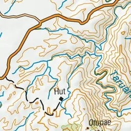
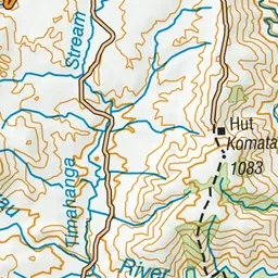
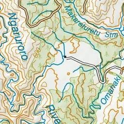
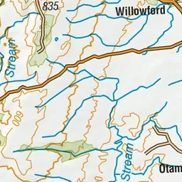
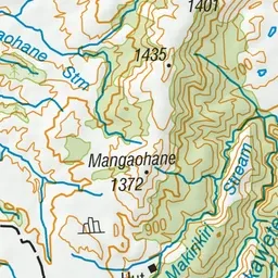
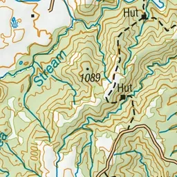
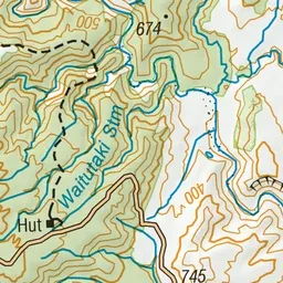
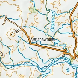
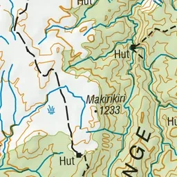
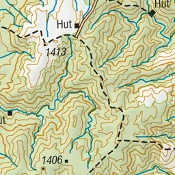
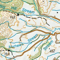
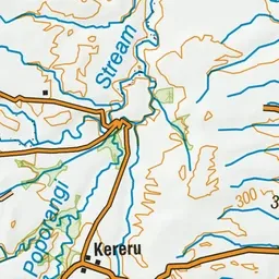
Pink: the track. Orange: huts.
About the track
Tracks starting at No Man's Road give access to a number of backcountry huts in the Eastern Ruahine Forest Park.
Huts on or near the track
- Dianes Hut (784 m)
- Herricks Hut (450 m)
- Ruahine Hut (919 m)
- Dead Dog Hut (579 m)
No Man's Road area tramping tracks on DOC's website, for track alerts, bookings and closures.