 Ridgeflow
North-South Track
Waikato · New Zealand
Distance75.3 km (46.8 mi)all 12 sections
Climb2,987 m (9,800 ft)2,580 m (8,465 ft) down
High point872 m (2,861 ft)lowest 98 m (322 ft)
DOC's time5 - 7 daysas DOC publishes it
GradeExpertDOC
This track is mapped in 12 separate sections, so there is no single profile or walking time. Climb is added up section by section.
Map
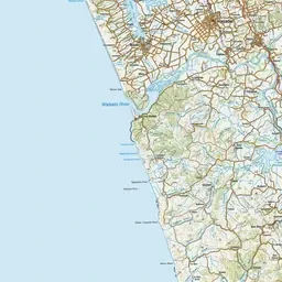
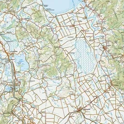
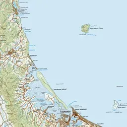
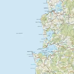
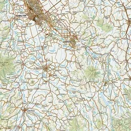
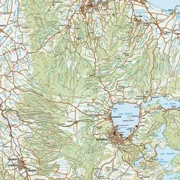
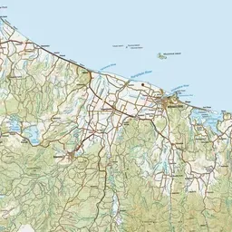
Pink: the track. Orange: huts. Blue: campsites.
About the track
This is a multi-day hike using rugged, unmarked routes suitable for expert backcountry hikers only. Hikers will need to camp in addition to staying in huts.
Huts on or near the track
- Te Rereatukahia Hut (624 m, bookable)
- Hurunui Hut (538 m)
- Motutapere Hut (559 m)
- Daly's Clearing Hut (318 m)
- Waitawheta Hut (367 m, bookable)
- Te Whare Okioki (523 m, bookable)
Campsites
- Dickey Flat Campsite (99 m)
North-South Track on DOC's website, for track alerts, bookings and closures.