 Ridgeflow
North West Circuit Stewart Island/Rakiura
Southland · New Zealand
Distance118.2 km (73.5 mi)all 10 sections
Climb4,659 m (15,285 ft)4,598 m (15,085 ft) down
High point386 m (1,266 ft)lowest 0 m (0 ft)
DOC's time9 - 11 daysas DOC publishes it
GradeAdvancedDOC
This track is mapped in 10 separate sections, so there is no single profile or walking time. Climb is added up section by section.
Map
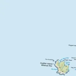
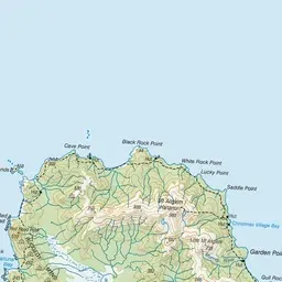
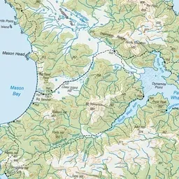
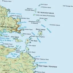
Pink: the track. Orange: huts. Blue: campsites.
About the track
The North West Circuit offers challenging multi-day hiking around Rakiura/Stewart island’s northern coast.
Huts on or near the track
- East Ruggedy Hut (41 m)
- Mason Bay Hut (18 m)
- Christmas Village Hut (8 m)
- Smoky Hunters Hut (10 m, bookable)
- Yankee River Hut (15 m)
- Little Hellfire Hunters Hut (15 m, bookable)
- Port William Hut (8 m, bookable)
- Freshwater Hut (20 m)
- North Arm Hut (16 m, bookable)
- Christmas Village Hunters Hut (6 m, bookable)
- Long Harry Hut (39 m)
- Bungaree Hut (9 m)
- Murray Hunters Hut (6 m, bookable)
- Big Hellfire Hut (211 m)
Campsites
- Māori Beach Campsite (4 m)
- Lucky Beach Campsite (11 m)
- West Ruggedy Beach Campsite (24 m)
- Port William Campsite (11 m)
- North Arm Campsite (14 m)
North West Circuit Stewart Island/Rakiura on DOC's website, for track alerts, bookings and closures.