 Ridgeflow
Northern Tarawera Track
Bay of Plenty · New Zealand
Distance7.4 km (4.6 mi)along the line
Climb192 m (630 ft)181 m (594 ft) down
High point420 m (1,378 ft)lowest 300 m (984 ft)
DOC's time3 hras DOC publishes it
Walking time2 h 10 minone way, moving, our estimate
GradeAdvancedDOC
Elevation profile
Map
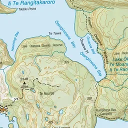
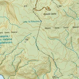
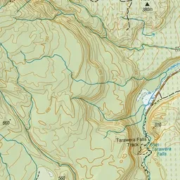
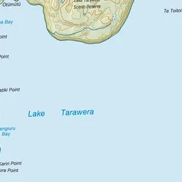
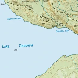
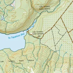
Pink: the track. Green dot: the start. Blue: campsites.
About the track
This track starts at Tarawera Outlet and finishes at Humphries Bay. This area was extensively altered by the 1886 Tarawera eruption and the landscape is being slowly regenerated by native plant species.
Campsites
- Humphries Bay Campsite (304 m)
- Lake Tarawera Outlet Campsite (316 m)
Northern Tarawera Track on DOC's website, for track alerts, bookings and closures.