 Ridgeflow
Obelisk Loop Track
Otago · New Zealand
Distance9.8 km (6.1 mi)along the line
Climb361 m (1,184 ft)344 m (1,129 ft) down
High point1,675 m (5,495 ft)lowest 1,323 m (4,341 ft)
DOC's time3 hr 30 min loopas DOC publishes it
Walking time3 h 3 minone way, moving, our estimate
GradeAdvancedDOC
Elevation profile
Map
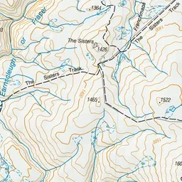
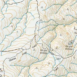
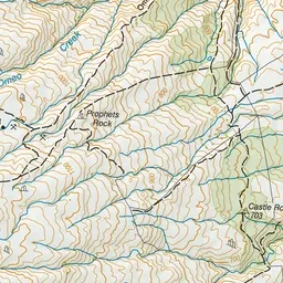
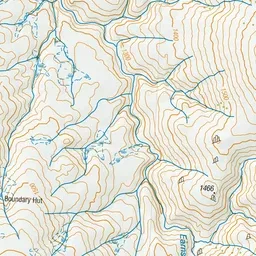
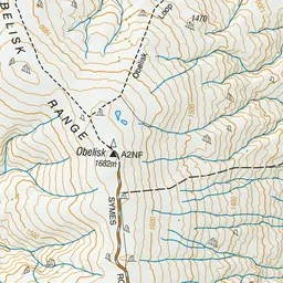
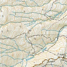
Pink: the track.
About the track
This loop starts from the highest point on the range at Kopuwai. On a good day, you can see as far out as Rakiura/Stewart Island, Aoraki/Mt Cook, and Mt Aspiring/Tititea.
Obelisk Loop Track on DOC's website, for track alerts, bookings and closures.