 Ridgeflow
Ohakune Old Coach Road
Manawatū-Whanganui · New Zealand
Distance10.8 km (6.7 mi)all 3 sections
Climb170 m (558 ft)333 m (1,093 ft) down
High point758 m (2,487 ft)lowest 580 m (1,903 ft)
DOC's time4 hr 30 min walkas DOC publishes it
GradeEasyDOC
This track is mapped in 3 separate sections, so there is no single profile or walking time. Climb is added up section by section.
Map
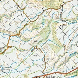
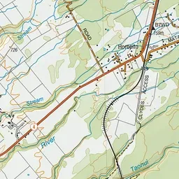
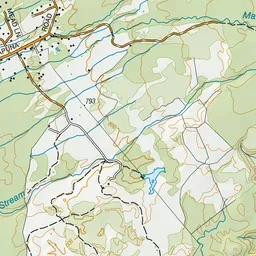
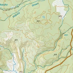
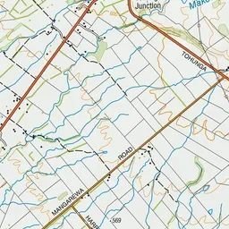
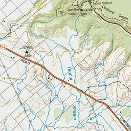
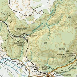
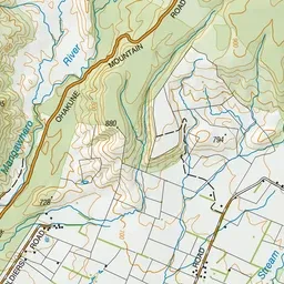
Pink: the track.
About the track
Take a trip back into New Zealand's rail heritage while you walk or cycle an old coach road. The road was used to carry passengers and goods between two railheads on the North Island main trunk link before they were linked in 1908.
Ohakune Old Coach Road on DOC's website, for track alerts, bookings and closures.