 Ridgeflow
Ōkere Falls Track
Bay of Plenty · New Zealand
Distance2.2 km (1.3 mi)all 15 sections
Climb69 m (226 ft)75 m (246 ft) down
High point318 m (1,043 ft)lowest 256 m (840 ft)
DOC's time30 min one wayas DOC publishes it
GradeEasiestDOC
This track is mapped in 15 separate sections, so there is no single profile or walking time. Climb is added up section by section.
Map
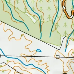
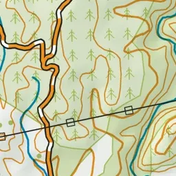
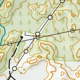
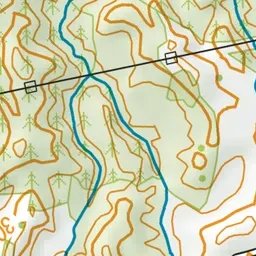
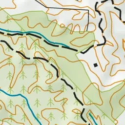
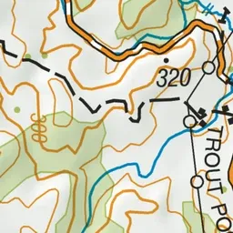

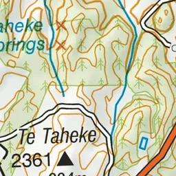
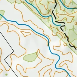
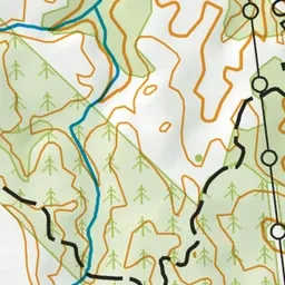
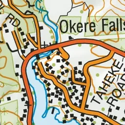
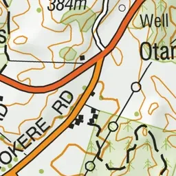
Pink: the track.
About the track
With viewing platforms that provide great views of magnificent waterfalls and white water rafters making their way down the Kaituna River, as well as geocaches and glow worms at night, there is plenty to keep kids entertained on this short, easy walk.
Ōkere Falls Track on DOC's website, for track alerts, bookings and closures.