 Ridgeflow
Okupata Caves
Manawatū-Whanganui · New Zealand
Distance0.1 km (0.1 mi)along the line
Climb0 m (0 ft)13 m (43 ft) down
High point613 m (2,011 ft)lowest 600 m (1,969 ft)
Walking time2 minone way, moving, our estimate
GradeExpertDOC
Elevation profile
Map
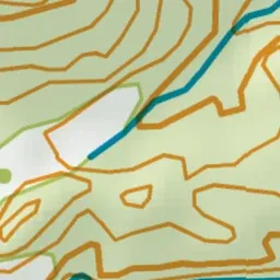
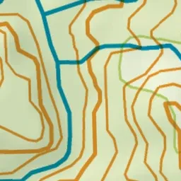
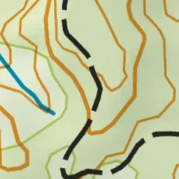
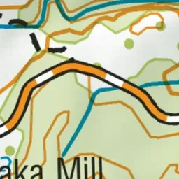
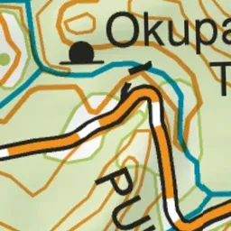
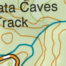
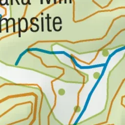
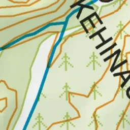
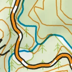
Pink: the track. Green dot: the start.
About the track
A natural network of limestone caves carved by the Okupata stream eroding the rock formations. The caves house delicate habitats of NZ cave weta and glow worms and these ecosystems can be impacted by visitation.
Okupata Caves on DOC's website, for track alerts, bookings and closures.