 Ridgeflow
Ōkura Bush Walkway
Auckland · New Zealand
Distance9.2 km (5.7 mi)all 6 sections
Climb227 m (745 ft)221 m (725 ft) down
High point80 m (262 ft)lowest 0 m (0 ft)
GradeEasyDOC
This track is mapped in 6 separate sections, so there is no single profile or walking time. Climb is added up section by section.
Map
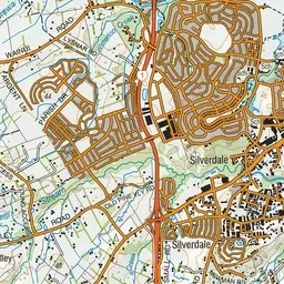
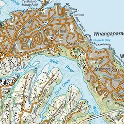
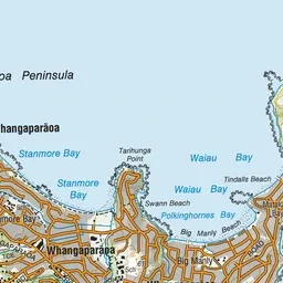
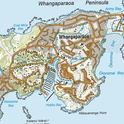
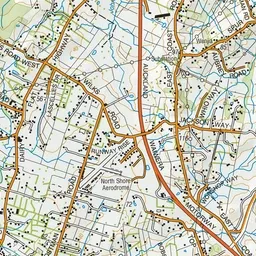
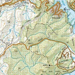
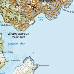
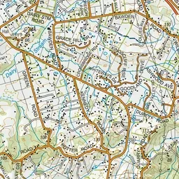
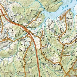
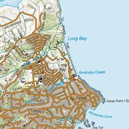

Pink: the track.
About the track
Ōkura Bush Walkway is closed from the south end, between Haigh Road entrance and Karepiro Bay. This track is part of Te Araroa Trail.
Ōkura Bush Walkway on DOC's website, for track alerts, bookings and closures.