 Ridgeflow
Okuti Valley Scenic Reserve walk
Canterbury · New Zealand
Distance0.3 km (0.2 mi)along the line
Climb0 m (0 ft)46 m (151 ft) down
High point149 m (489 ft)lowest 103 m (338 ft)
DOC's time20 min returnas DOC publishes it
Walking time6 minone way, moving, our estimate
GradeEasiestDOC
Elevation profile
Map

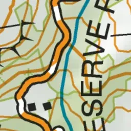
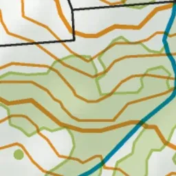

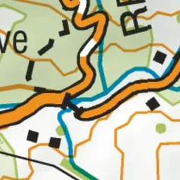
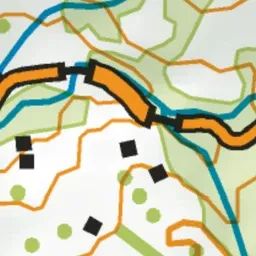



Pink: the track. Green dot: the start.
About the track
This walk takes you through Okuti Valley Scenic Reserve which features lowland forest such as kaikahikatea, tōtara, māhoe and kānuka.
Okuti Valley Scenic Reserve walk on DOC's website, for track alerts, bookings and closures.