 Ridgeflow
Old Blyth Track
Manawatū-Whanganui · New Zealand
Distance5.3 km (3.3 mi)along the line
Climb327 m (1,073 ft)0 m (0 ft) down
High point1,242 m (4,075 ft)lowest 915 m (3,002 ft)
DOC's time1 hr 30 mins to Round the Mountain track junctionas DOC publishes it
Walking time1 h 52 minone way, moving, our estimate
GradeIntermediateDOC
Elevation profile
Map
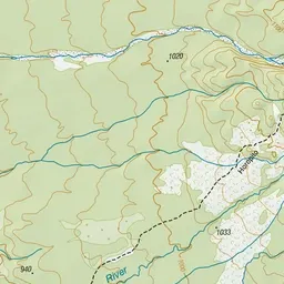
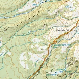
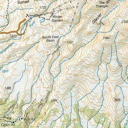
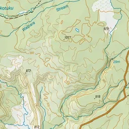
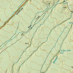
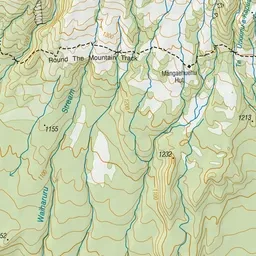
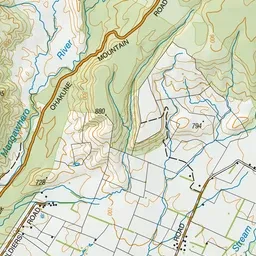
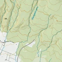
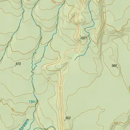
Pink: the track. Green dot: the start.
About the track
Follow this historic trail through red beech and kaikawaka forests to connect with the Waitonga Falls and Round the Mountain tracks.
Old Blyth Track on DOC's website, for track alerts, bookings and closures.