 Ridgeflow
Omaru Falls Walk
Waikato · New Zealand
Distance1.7 km (1.1 mi)along the line
Climb14 m (46 ft)46 m (151 ft) down
High point302 m (991 ft)lowest 268 m (879 ft)
DOC's time1 hras DOC publishes it
Walking time27 minone way, moving, our estimate
GradeEasyDOC
Elevation profile
Map
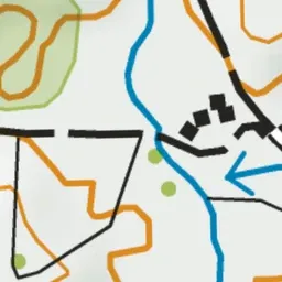
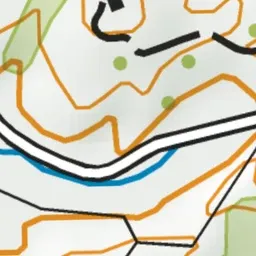

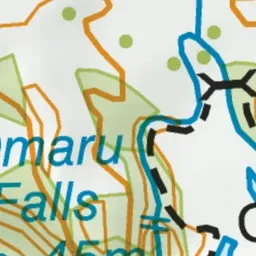


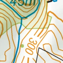
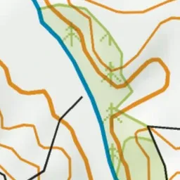
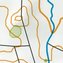
Pink: the track. Green dot: the start.
About the track
A gentle 30 min walk through bush and over farmland to the beautiful Omaru Falls. On Omaru Road, clearly signposted from SH4.
Omaru Falls Walk on DOC's website, for track alerts, bookings and closures.