 Ridgeflow
Omeo Gully Track
Otago · New Zealand
Distance9.3 km (5.8 mi)along the line
Climb1,148 m (3,766 ft)0 m (0 ft) down
High point1,367 m (4,485 ft)lowest 220 m (722 ft)
DOC's time6 hras DOC publishes it
Walking time4 h 14 minone way, moving, our estimate
GradeAdvancedDOC
Elevation profile
Map
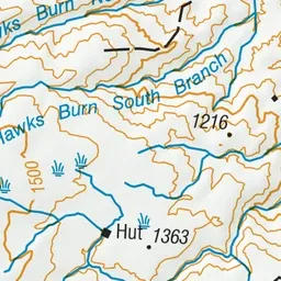
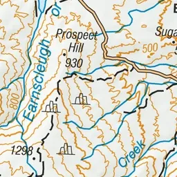
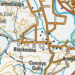
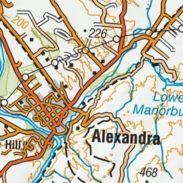
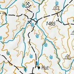
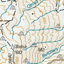
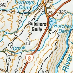
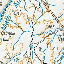
Pink: the track. Green dot: the start.
About the track
Omeo Gully Track goes through one of Otago’s highest, most isolated gold fields. View distinctive gold workings on high sluice faces, deeply riveted tail races, tall stacked tailings and the remains of dwellings.
Omeo Gully Track on DOC's website, for track alerts, bookings and closures.