 Ridgeflow
Ōrongorongo Track
Wellington · New Zealand
Distance4.8 km (3 mi)along the line
Climb166 m (545 ft)115 m (377 ft) down
High point211 m (692 ft)lowest 70 m (230 ft)
DOC's time2 hr one wayas DOC publishes it
Walking time1 h 28 minone way, moving, our estimate
GradeEasyDOC
Elevation profile
Map
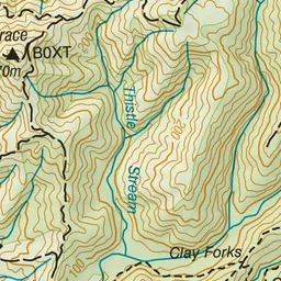
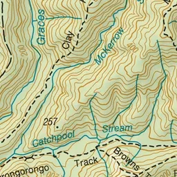
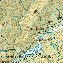
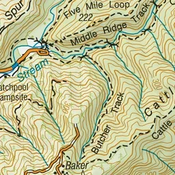
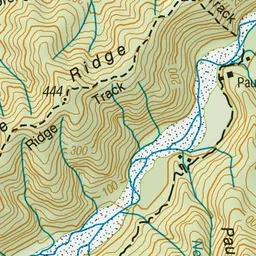
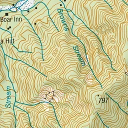
Pink: the track. Green dot: the start. Orange: huts.
About the track
This popular, easy walk passes through different forest types and has swimming holes at the end of the track - it's ideal for families.
Huts on or near the track
- Raukawa Lodge (119 m, bookable)
Ōrongorongo Track on DOC's website, for track alerts, bookings and closures.