 Ridgeflow
Otago Central Rail Trail
Otago · New Zealand
Distance150.1 km (93.2 mi)along the line
Climb769 m (2,523 ft)801 m (2,628 ft) down
High point623 m (2,044 ft)lowest 144 m (472 ft)
Walking time38 h 48 minone way, moving, our estimate
GradeEasyDOC
Elevation profile
Map
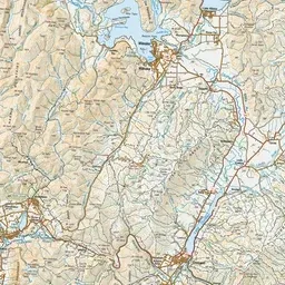
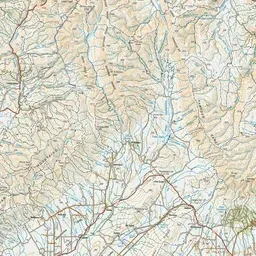
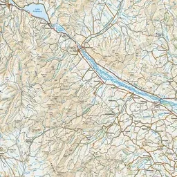
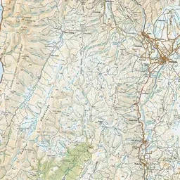
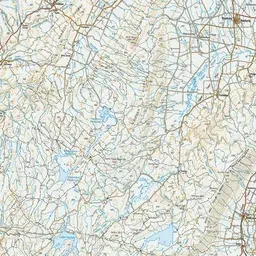
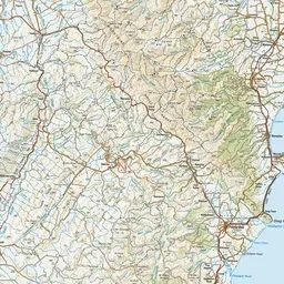
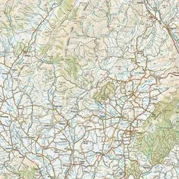
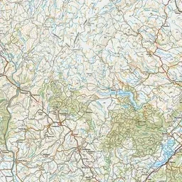
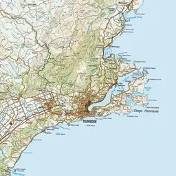
Pink: the track. Green dot: the start.
About the track
Pedalling Otago’s rural heart. The famous Rail Trail takes you through traditional country towns and sheep-farming land farmed by families for many generations.
Otago Central Rail Trail on DOC's website, for track alerts, bookings and closures.