 Ridgeflow
Otanewainuku Rimu Loop Walk
Bay of Plenty · New Zealand
Distance3.7 km (2.3 mi)along the line
Climb59 m (194 ft)133 m (436 ft) down
High point449 m (1,473 ft)lowest 345 m (1,132 ft)
DOC's time1 hr 30 minas DOC publishes it
Walking time1 h 2 minone way, moving, our estimate
GradeEasyDOC
Elevation profile
Map
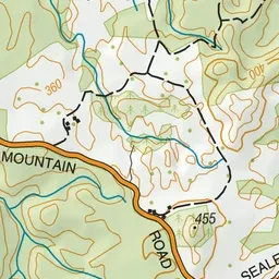
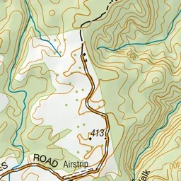
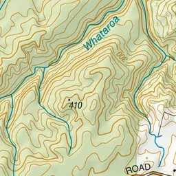
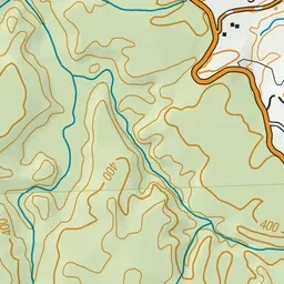
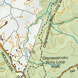
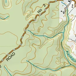
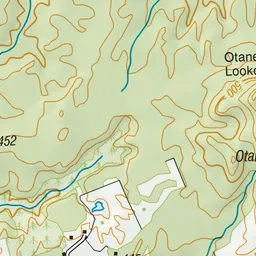
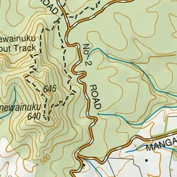
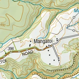
Pink: the track.
About the track
Walk among large rimu trees in Otanewainuku Forest. You can also take a side trip to Whataroa Falls, a popular swimming hole and picnic spot.
Otanewainuku Rimu Loop Walk on DOC's website, for track alerts, bookings and closures.