 Ridgeflow
Ōtūkaikino Walk
Canterbury · New Zealand
Distance1.3 km (0.8 mi)along the line
Climb0 m (0 ft)0 m (0 ft) down
High point7 m (23 ft)lowest 4 m (13 ft)
DOC's time30 minas DOC publishes it
Walking time19 minone way, moving, our estimate
GradeEasiestDOC
Elevation profile
Map


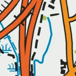
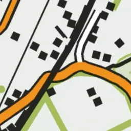


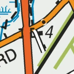

Pink: the track.
About the track
This short, easy track loops around a wetland. Interpretive panels provide information about the wetland and it's inhabitants.
Ōtūkaikino Walk on DOC's website, for track alerts, bookings and closures.