 Ridgeflow
Outlet Track
Otago · New Zealand
Distance3.1 km (1.9 mi)along the line
Climb29 m (95 ft)27 m (89 ft) down
High point297 m (974 ft)lowest 280 m (919 ft)
DOC's time45 min one wayas DOC publishes it
Walking time49 minone way, moving, our estimate
GradeEasiestDOC
Elevation profile
Map
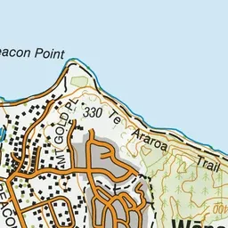
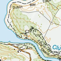
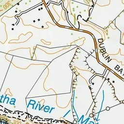
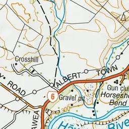
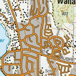
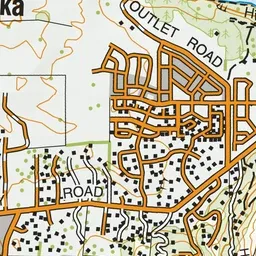
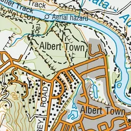
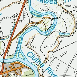
Pink: the track. Green dot: the start.
About the track
A picturesque riverside walk along the Clutha River/Mata-Au. This track is part of Te Araroa Trail.
Outlet Track on DOC's website, for track alerts, bookings and closures.