 Ridgeflow
Panitahi and Syme Hut Track
Taranaki · New Zealand
Distance4.3 km (2.6 mi)all 8 sections
Climb78 m (256 ft)1,019 m (3,343 ft) down
High point1,956 m (6,417 ft)lowest 946 m (3,104 ft)
DOC's time5–6 hr returnas DOC publishes it
GradeAdvanced, ExpertDOC
This track is mapped in 8 separate sections, so there is no single profile or walking time. Climb is added up section by section.
Map
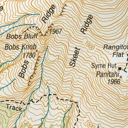
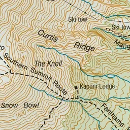
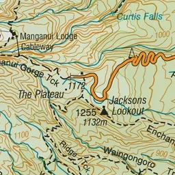
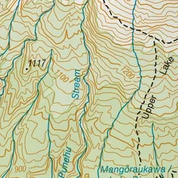
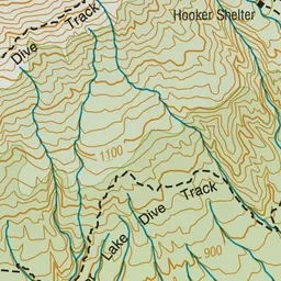
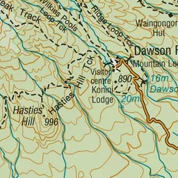
Pink: the track. Orange: huts.
About the track
From December to April, fit and well-equipped hikers can enjoy spectacular scenery from Panitahi, formerly known as Fanthams Peak, on Taranaki Maunga. From May to November, the mountain is covered in snow and ice – mountaineering experience and equipmen
Huts on or near the track
- Syme Hut (1922 m)
Panitahi and Syme Hut Track on DOC's website, for track alerts, bookings and closures.