 Ridgeflow
Paparoa Track
West Coast · New Zealand
Distance51.3 km (31.9 mi)along the line
Climb1,998 m (6,555 ft)1,693 m (5,554 ft) down
High point1,140 m (3,740 ft)lowest 19 m (62 ft)
DOC's time3 days one wayas DOC publishes it
Walking time16 h 9 minone way, moving, our estimate
GradeIntermediateDOC
Elevation profile
Map

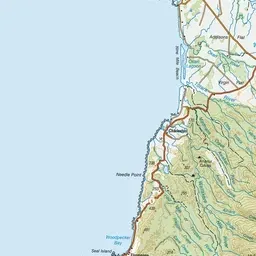
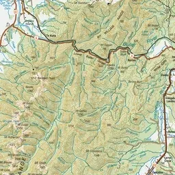

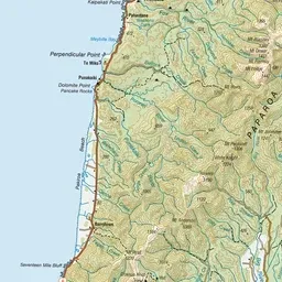
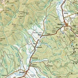
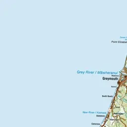
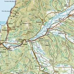
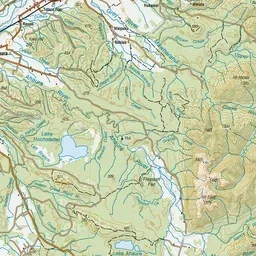
Pink: the track. Orange: huts.
About the track
The Paparoa Track crosses the Paparoa Range. It takes you through alpine tops, limestone karst landscapes, thriving rainforests and provides breath-taking views.
Huts on or near the track
- Moonlight Tops Hut (1013 m, bookable)
- Pororari Hut (531 m, bookable)
- Ces Clark Hut (932 m, bookable)
Paparoa Track on DOC's website, for track alerts, bookings and closures.