 Ridgeflow
Peak Hill Route
Canterbury · New Zealand
Distance3 km (1.9 mi)along the line
Climb638 m (2,093 ft)14 m (46 ft) down
High point1,224 m (4,016 ft)lowest 600 m (1,969 ft)
DOC's time3 hr returnas DOC publishes it
Walking time1 h 49 minone way, moving, our estimate
GradeExpertDOC
Elevation profile
Map
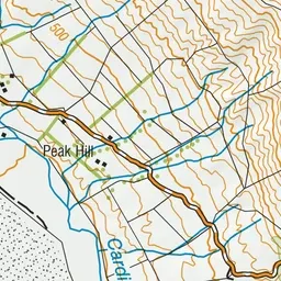
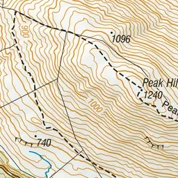
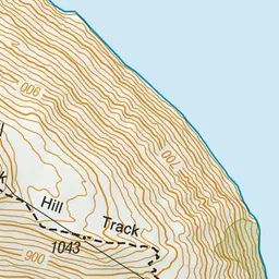
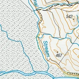
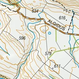
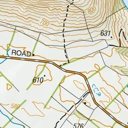
Pink: the track. Green dot: the start.
About the track
The climb to the top of Peak Hill rewards walkers with sweeping views of Lake Coleridge and its surrounds. The walk is extremely exposed to the weather and walkers should be well equipped.
Peak Hill Route on DOC's website, for track alerts, bookings and closures.