 Ridgeflow
Pōhutukawa Track
Auckland · New Zealand
Distance2.8 km (1.8 mi)along the line
Climb112 m (367 ft)48 m (157 ft) down
High point105 m (344 ft)lowest 12 m (39 ft)
DOC's time35 min to 3 hr 30 minas DOC publishes it
Walking time54 minone way, moving, our estimate
GradeEasyDOC
Elevation profile
Map

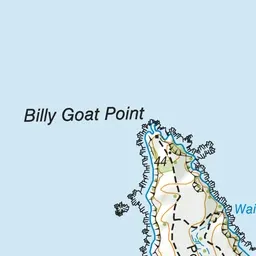
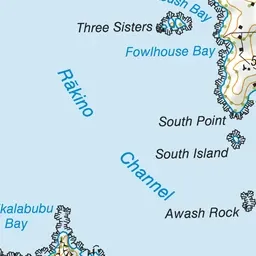
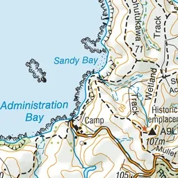
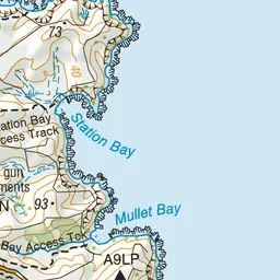
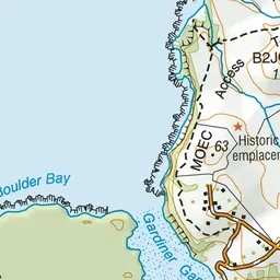
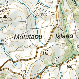
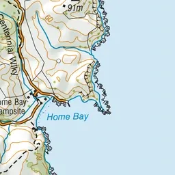
Pink: the track. Green dot: the start.
About the track
An interesting walk viewing young and mature pōhutukawa and exploring WWII gun emplacements and tunnels.
Pōhutukawa Track on DOC's website, for track alerts, bookings and closures.