 Ridgeflow
Pourakino Picnic Area Loop Track
Southland · New Zealand
Distance1.6 km (1 mi)along the line
Climb0 m (0 ft)0 m (0 ft) down
High point80 m (262 ft)lowest 78 m (256 ft)
DOC's time45 minas DOC publishes it
Walking time25 minone way, moving, our estimate
GradeEasyDOC
Elevation profile
Map

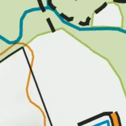
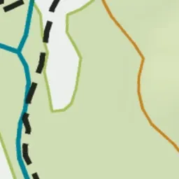

Pink: the track. Green dot: the start.
About the track
This is an easy short walking track following historic tramlines though silver beech forest.
Pourakino Picnic Area Loop Track on DOC's website, for track alerts, bookings and closures.