 Ridgeflow
Progress Water Race Track
West Coast · New Zealand
Distance2.2 km (1.4 mi)along the line
Climb131 m (430 ft)122 m (400 ft) down
High point332 m (1,089 ft)lowest 278 m (912 ft)
DOC's time2 hras DOC publishes it
Walking time47 minone way, moving, our estimate
GradeEasyDOC
Elevation profile
Map
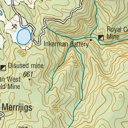
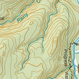
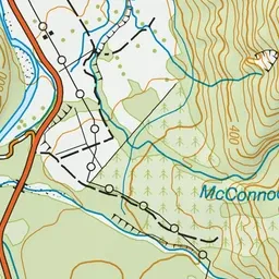
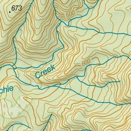
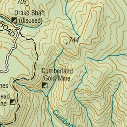
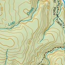
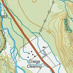
Pink: the track. Green dot: the start.
About the track
Cross the Inangahua suspension bridge to follow this track up stairs and along the old Progress Water Race.
Progress Water Race Track on DOC's website, for track alerts, bookings and closures.