 Ridgeflow
Pukaka Valley Track
Marlborough · New Zealand
Distance3.5 km (2.2 mi)along the line
Climb406 m (1,332 ft)0 m (0 ft) down
High point472 m (1,549 ft)lowest 63 m (207 ft)
DOC's time3-5 hras DOC publishes it
Walking time1 h 33 minone way, moving, our estimate
GradeIntermediateDOC
Elevation profile
Map
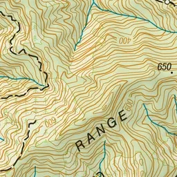
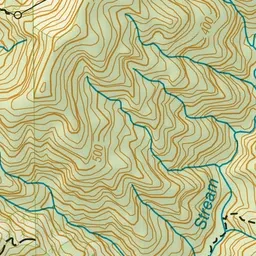
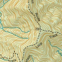
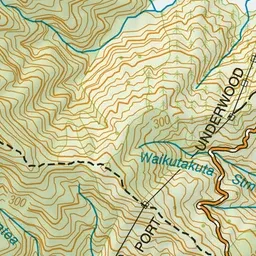
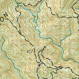
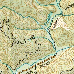
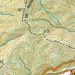
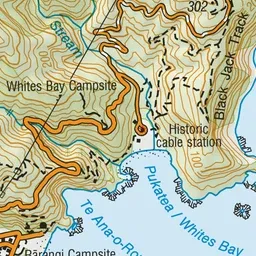
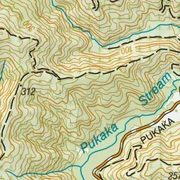
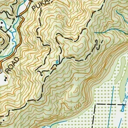
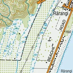
Pink: the track. Green dot: the start.
About the track
This forested valley is part of Mt Robertson Scenic Reserve and provides good hiking and hunting opportunities and gives alternative access to the Mount Robertson loop and summit tracks.
Pukaka Valley Track on DOC's website, for track alerts, bookings and closures.