 Ridgeflow
Pukatea Ridge Track
Northland · New Zealand
Distance11.6 km (7.2 mi)along the line
Climb680 m (2,231 ft)318 m (1,043 ft) down
High point406 m (1,332 ft)lowest 22 m (72 ft)
DOC's time2 hras DOC publishes it
Walking time4 h 3 minone way, moving, our estimate
GradeIntermediateDOC
Elevation profile
Map
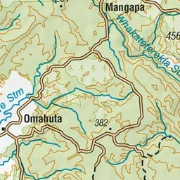
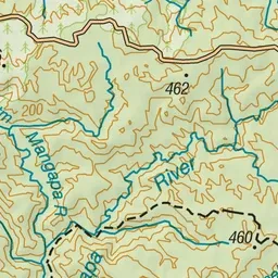
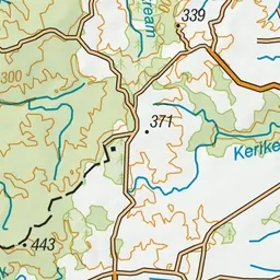
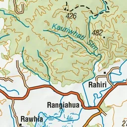
Pink: the track. Green dot: the start.
About the track
This is a well-marked track through established bush with valley views and large kauri trees. This track connects with the Waipapa River Track.
Pukatea Ridge Track on DOC's website, for track alerts, bookings and closures.