 Ridgeflow
Puketī Nature Trail
Northland · New Zealand
Distance1.6 km (1 mi)along the line
Climb66 m (217 ft)89 m (292 ft) down
High point325 m (1,066 ft)lowest 256 m (840 ft)
DOC's time1 hras DOC publishes it
Walking time30 minone way, moving, our estimate
GradeEasyDOC
Elevation profile
Map

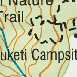
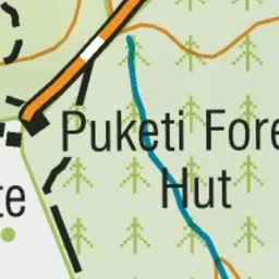
Pink: the track. Orange: huts. Blue: campsites.
About the track
This is an easy wander suitable for children. The loop track leads you through a beautiful kauri forest with a chance to see glow-worms.
Huts on or near the track
- Puketī Forest Hut (327 m, bookable)
Campsites
- Puketī Recreation Area Campsite (324 m)
Puketī Nature Trail on DOC's website, for track alerts, bookings and closures.