 Ridgeflow
Punakaiki – Pororari Loop
West Coast · New Zealand
Distance7.3 km (4.5 mi)along the line
Climb162 m (531 ft)163 m (535 ft) down
High point136 m (446 ft)lowest 19 m (62 ft)
DOC's time3 hras DOC publishes it
Walking time2 h 5 minone way, moving, our estimate
GradeEasyDOC
Elevation profile
Map
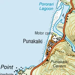
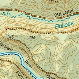
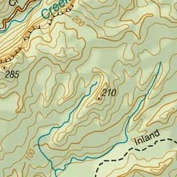
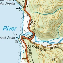
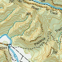
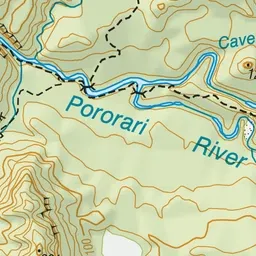
Pink: the track.
About the track
This popular walking track combines the southern section of the Inland Pack Track and the Paparoa Great Walk with the Pororari River Track.
Punakaiki – Pororari Loop on DOC's website, for track alerts, bookings and closures.