 Ridgeflow
Pūponga Hilltop Walk
Tasman · New Zealand
Distance7.9 km (4.9 mi)all 6 sections
Climb391 m (1,283 ft)366 m (1,201 ft) down
High point156 m (512 ft)lowest 10 m (33 ft)
DOC's time3 – 5 hours one wayas DOC publishes it
GradeAdvancedDOC
This track is mapped in 6 separate sections, so there is no single profile or walking time. Climb is added up section by section.
Map
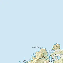
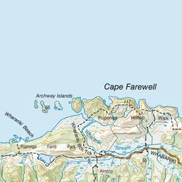
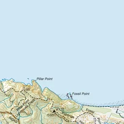
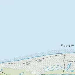
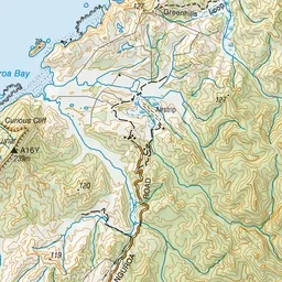
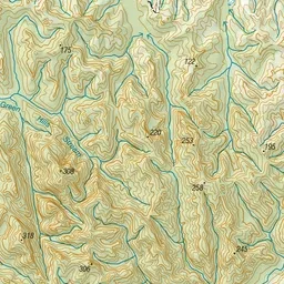
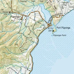
Pink: the track.
About the track
A day walk with fantastic coastal views. Ending at the beautiful Wharariki Beach, the track travels past the Pillar Point Lighthouse and Cape Farewell.
Pūponga Hilltop Walk on DOC's website, for track alerts, bookings and closures.