 Ridgeflow
Puriri Track
Northland · New Zealand
Distance4.7 km (2.9 mi)along the line
Climb135 m (443 ft)146 m (479 ft) down
High point125 m (410 ft)lowest 9 m (30 ft)
DOC's time2 hr 30 min returnas DOC publishes it
Walking time1 h 24 minone way, moving, our estimate
GradeEasyDOC
Elevation profile
Map
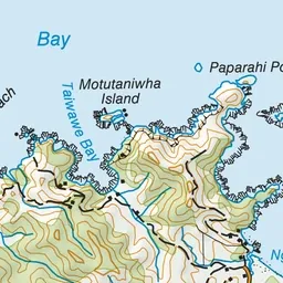
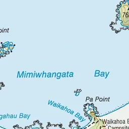
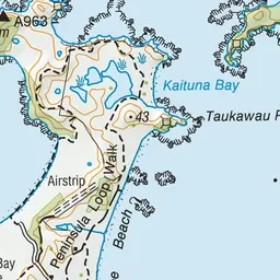
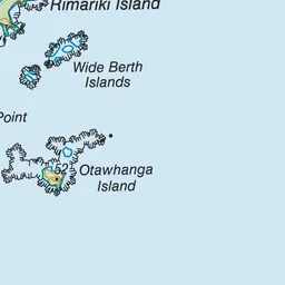
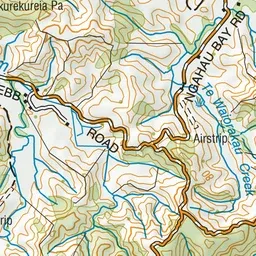
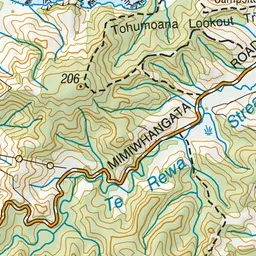
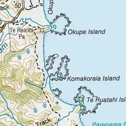

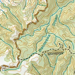
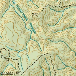
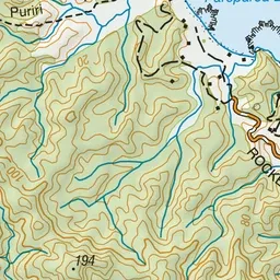
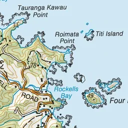
Pink: the track. Green dot: the start.
About the track
One of the bush walks at Mimiwhangata, the track leads you to the top of the ridge with impressive views of the peninsula and out towards the Poor Knights Islands.
Puriri Track on DOC's website, for track alerts, bookings and closures.