 Ridgeflow
Purity Hut Track
Manawatū-Whanganui · New Zealand
Distance4.4 km (2.7 mi)along the line
Climb732 m (2,402 ft)10 m (33 ft) down
High point1,319 m (4,327 ft)lowest 596 m (1,955 ft)
DOC's time3 - 4 hras DOC publishes it
Walking time2 h 19 minone way, moving, our estimate
GradeAdvancedDOC
Elevation profile
Map
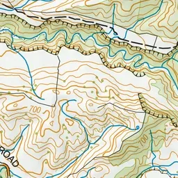
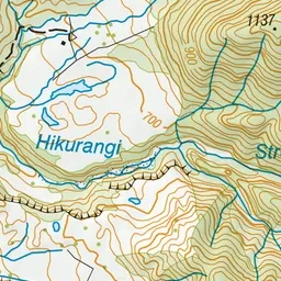
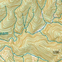
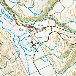
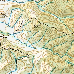
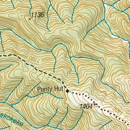
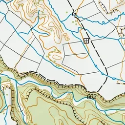
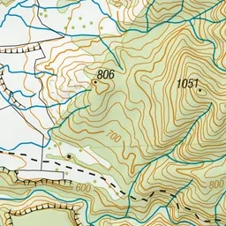
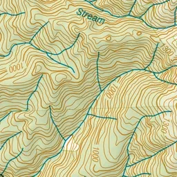
Pink: the track. Orange: huts.
About the track
A steep climb to this hut nestled above the bushline on the Hikurangi Range in the Ruahine Forest Park.
Huts on or near the track
- Purity Hut (1320 m)
Purity Hut Track on DOC's website, for track alerts, bookings and closures.