 Ridgeflow
Putanui Point Track
Marlborough · New Zealand
Distance2.1 km (1.3 mi)along the line
Climb69 m (226 ft)198 m (650 ft) down
High point137 m (449 ft)lowest 8 m (26 ft)
DOC's time30 min - boat access onlyas DOC publishes it
Walking time39 minone way, moving, our estimate
GradeEasyDOC
Elevation profile
Map



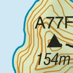





Pink: the track. Blue: campsites.
About the track
This walking track in Pelorus Sound is boat access only.
Campsites
- Putanui Point Campsite (38 m)
Putanui Point Track on DOC's website, for track alerts, bookings and closures.