 Ridgeflow
Rakaia Gorge Walkway
Canterbury · New Zealand
Distance4.9 km (3.1 mi)all 6 sections
Climb300 m (984 ft)365 m (1,198 ft) down
High point439 m (1,440 ft)lowest 286 m (938 ft)
DOC's time3–4 hr return via same trackas DOC publishes it
GradeEasyDOC
This track is mapped in 6 separate sections, so there is no single profile or walking time. Climb is added up section by section.
Map
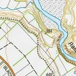
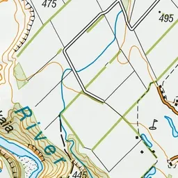
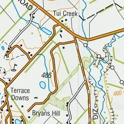
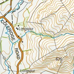
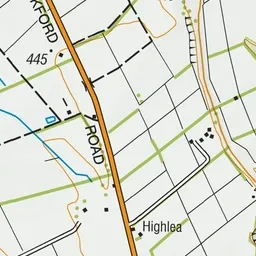
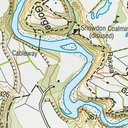
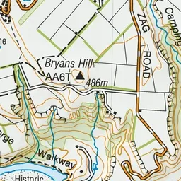
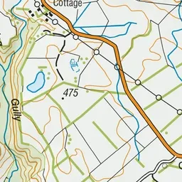
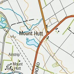
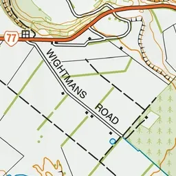
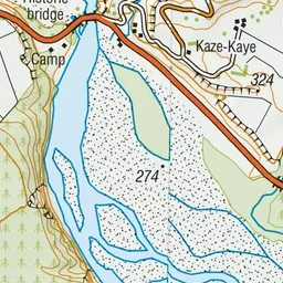
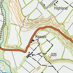
Pink: the track.
About the track
This walkway offers several geological and historic features as it traverses the edge of the Rakaia Gorge.
Rakaia Gorge Walkway on DOC's website, for track alerts, bookings and closures.