 Ridgeflow
Rangitoto Summit Track
Auckland · New Zealand
Distance5.8 km (3.6 mi)all 6 sections
Climb197 m (646 ft)260 m (853 ft) down
High point243 m (797 ft)lowest 4 m (13 ft)
DOC's time2 hr returnas DOC publishes it
GradeEasyDOC
This track is mapped in 6 separate sections, so there is no single profile or walking time. Climb is added up section by section.
Map
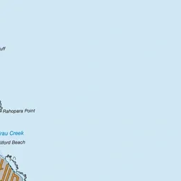
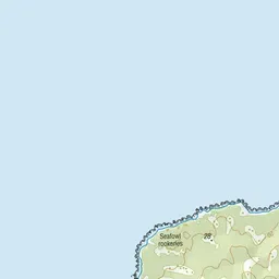
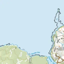
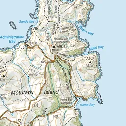
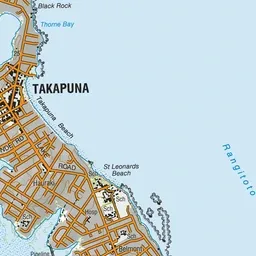
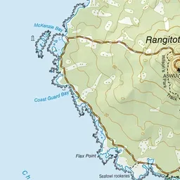
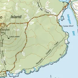
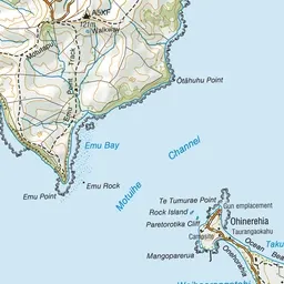
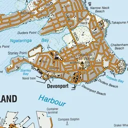
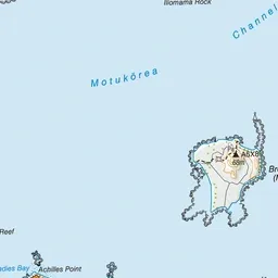
Pink: the track.
About the track
A steady climb through pōhutukawa forest and lava fields, with panoramic views of Auckland and the Hauraki Gulf from the summit of this volcanic island.
Rangitoto Summit Track on DOC's website, for track alerts, bookings and closures.