 Ridgeflow
Rangiwahia Hut - Deadmans Track
Manawatū-Whanganui · New Zealand
Distance13.2 km (8.2 mi)along the line
Climb928 m (3,045 ft)934 m (3,064 ft) down
High point1,567 m (5,141 ft)lowest 830 m (2,723 ft)
DOC's time2 daysas DOC publishes it
Walking time4 h 51 minone way, moving, our estimate
GradeAdvancedDOC
Elevation profile
Map
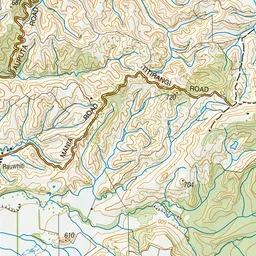
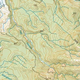
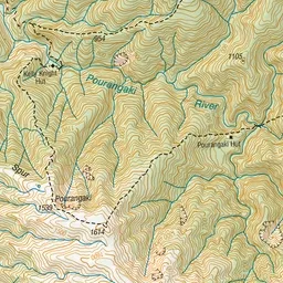
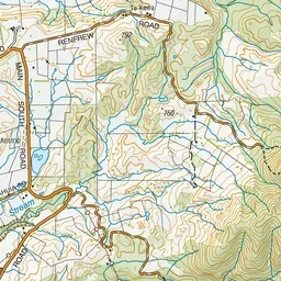
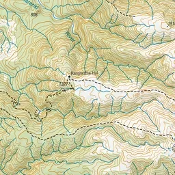
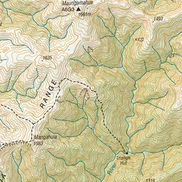
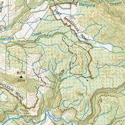
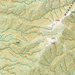
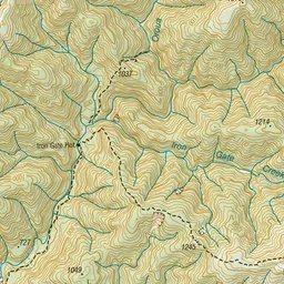
Pink: the track. Orange: huts.
About the track
An easy to moderate overnight hike to Rangiwahia Hut on the Whanahuia Range in Ruahine Forest Park. Return via the open tops and Deadman’s Track.
Huts on or near the track
- Rangiwahia Hut (1310 m, bookable)
Rangiwahia Hut - Deadmans Track on DOC's website, for track alerts, bookings and closures.