 Ridgeflow
Rarangi–Whites Bay Track
Marlborough · New Zealand
Distance2.4 km (1.5 mi)along the line
Climb155 m (509 ft)151 m (495 ft) down
High point164 m (538 ft)lowest 13 m (43 ft)
DOC's time1 hras DOC publishes it
Walking time51 minone way, moving, our estimate
GradeEasyDOC
Elevation profile
Map
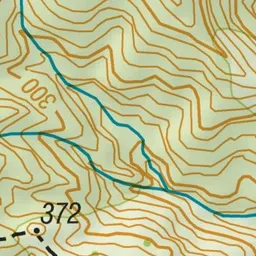
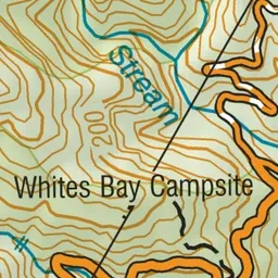
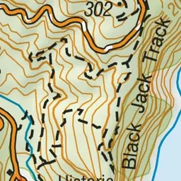
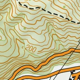
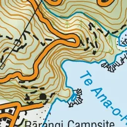
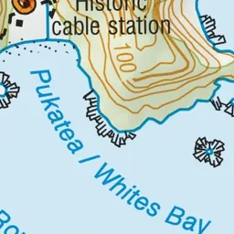
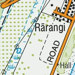
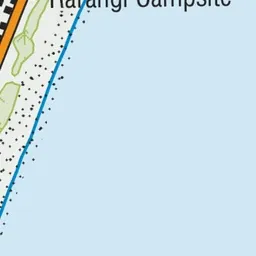

Pink: the track. Green dot: the start. Blue: campsites.
About the track
A one-way hiking track between Pukatea/Whites Bay and Rārangi that passes through a pine plantation.
Campsites
- Whites Bay Campsite (37 m)
- Rarangi Campsite (11 m)
Rarangi–Whites Bay Track on DOC's website, for track alerts, bookings and closures.