 Ridgeflow
Red Hills Route
Marlborough · New Zealand
Distance53.8 km (33.4 mi)all 3 sections
Climb2,467 m (8,094 ft)2,847 m (9,341 ft) down
High point1,593 m (5,226 ft)lowest 185 m (607 ft)
DOC's time3 days one wayas DOC publishes it
GradeAdvanced, ExpertDOC
This track is mapped in 3 separate sections, so there is no single profile or walking time. Climb is added up section by section.
Map
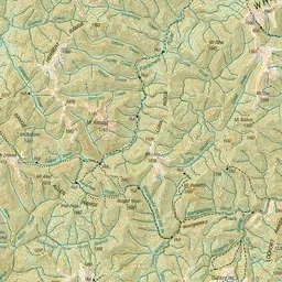
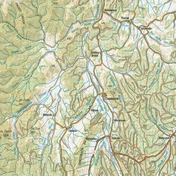
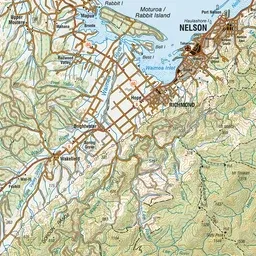
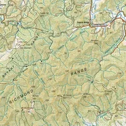
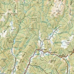
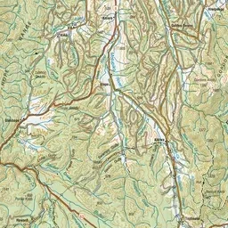
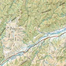
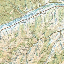
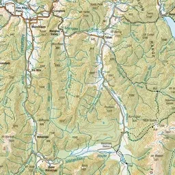
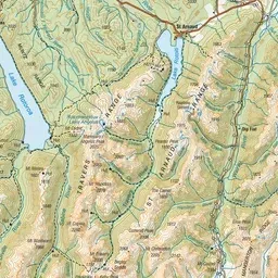
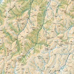
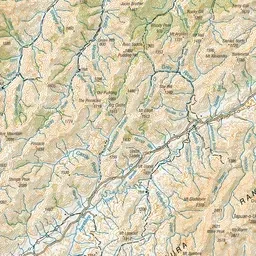
Pink: the track. Orange: huts.
About the track
The Red Hills Route is a challenging backcountry adventure from Mid Wairoa Hut by the Wairoa River to Red Hills Hut. This track is part of Te Araroa Trail.
Huts on or near the track
- Red Hills Hut (906 m)
- Top Wairoa Hut (854 m)
- Hunters Hut (841 m)
- Porters Creek Hut (894 m)
- Mid Wairoa Hut (376 m)
Red Hills Route on DOC's website, for track alerts, bookings and closures.